Precision matters: BNSF LiDAR technology
By JASON LAMERS
Staff Writer
When it comes to getting accurate measurements of assets throughout our rail corridors, inches matter. That’s why BNSF leverages advanced technology like LiDAR (Light Detection and Ranging) to collect extensive measurements of our track, bridges, train control assets and other nearby structures.
In the name of safety and service, BNSF is using LiDAR and spherical imaging to build a complete 360-degree view of our rail network similar to the street view in Google Maps. These views, and the detailed measurements LiDAR provide, are already being used to support PTC (Positive Train Control), a safety overlay that enforces movement authorities and speed restrictions.
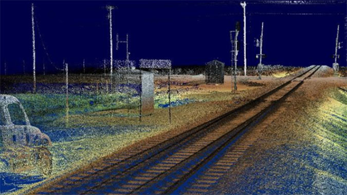
“We also use LiDAR information for track design, vegetation abatement, ballast profile analysis and high- and wide-clash detection,” said Chris Kerzman, director of GIS for our Engineering Network Control System (NCS) team. Clash detection refers to identifying where a freight car carrying a high/wide (oversized) load on a train could potentially overlap with structures or other objects.
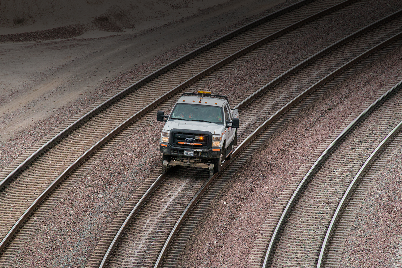
LiDAR data is being collected by the NCS team using four specially equipped BNSF hyrail vehicles, a dual-mode truck that can operate on both roads and railroad tracks.
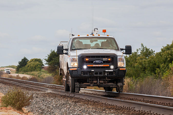
A LiDAR vehicle can collect 60-100 miles of data per day, a pace that’s up to six times faster than previous data collection methods, while providing significantly more detail. With a technology similar to radar, these detectors use lasers to precisely measure the location, dimension and distance between assets across BNSF’s network.
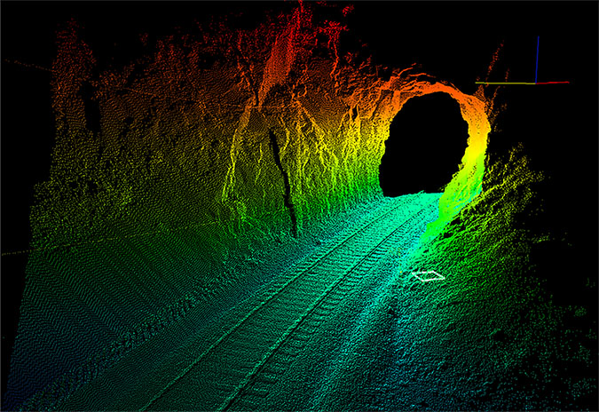
This LiDAR Mobile Mapping technology creates a three-dimensional, 360-degree “point cloud” with a density of more than 8,400 data points per square meter. It also meets the Federal Railroad Administration’s stringent accuracy requirement of 2.2 meters for cataloging assets for train control.
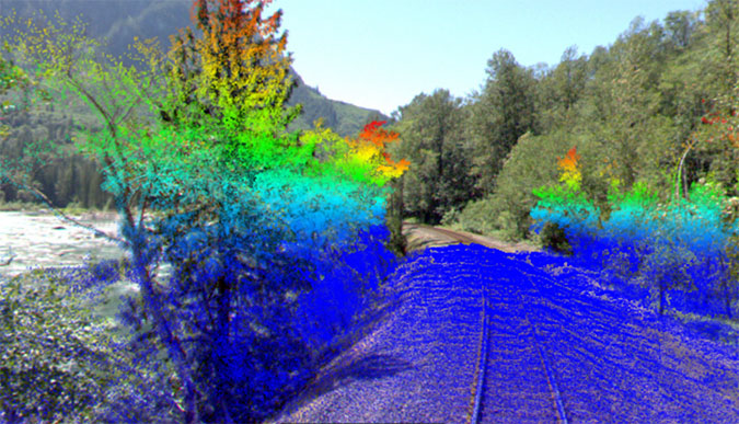
The BNSF team works from February through November each year to cover as much ground as possible. As of August 2024, LiDAR data has been collected on more than 180 BNSF subdivisions. The team, along with the Engineering Track Measurement team, is also currently implementing LiDAR on one attended geo car and projects this will add about 35,000 miles of LiDAR collection each year.
“This technology allows us to very accurately pinpoint locations of assets used in train control and related safety systems,” Kerzman said. “It provides these systems with the best data possible. We are leveraging the technology to minimize our track time to collect the information, enhancing velocity and safety. Our mantra is to visit the field once and use the data many times, in many ways.”
